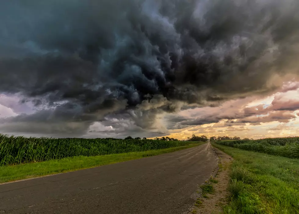
Special Weather Statement Issued for Otsego County, New York
Strong storms are moving into and across Otsego County.
Details:
Issued By
Binghamton - NY, US, National Weather Service
Affected Area
Otsego County
Description
...A STRONG THUNDERSTORM WILL IMPACT EAST CENTRAL OTSEGO COUNTY THROUGH 330 PM EDT...
At 308 PM EDT, Doppler radar was tracking a strong thunderstorm near Middlefield, or 8 miles southeast of Cooperstown, moving east at 45 mph. HAZARD...Wind gusts up to 40 mph and pea size hail. SOURCE...Radar indicated. IMPACT...Gusty winds could knock down tree limbs and blow around unsecured objects. Minor hail damage to vegetation is possible. Locations impacted include... Worcester, Middlefield, Westford, Schenevus, Elk Creek, and Betty And Wilbur Davis State Park. This includes the following highway exits... Interstate 88 between 18 and 19.
PRECAUTIONARY/PREPAREDNESS ACTIONS... If outdoors, consider seeking shelter inside a building. Heavy rainfall is also occurring with this storm and may lead to localized flooding. Do not drive your vehicle through flooded roadways. To report severe weather, contact your nearest law enforcement agency. They will relay your report to the National Weather Service office in Binghamton.
Watch this space for more information as it comes through from the NWS.
8 Famous People With Ties to the Oneonta Area
More From Big Cat - Country with Attitude